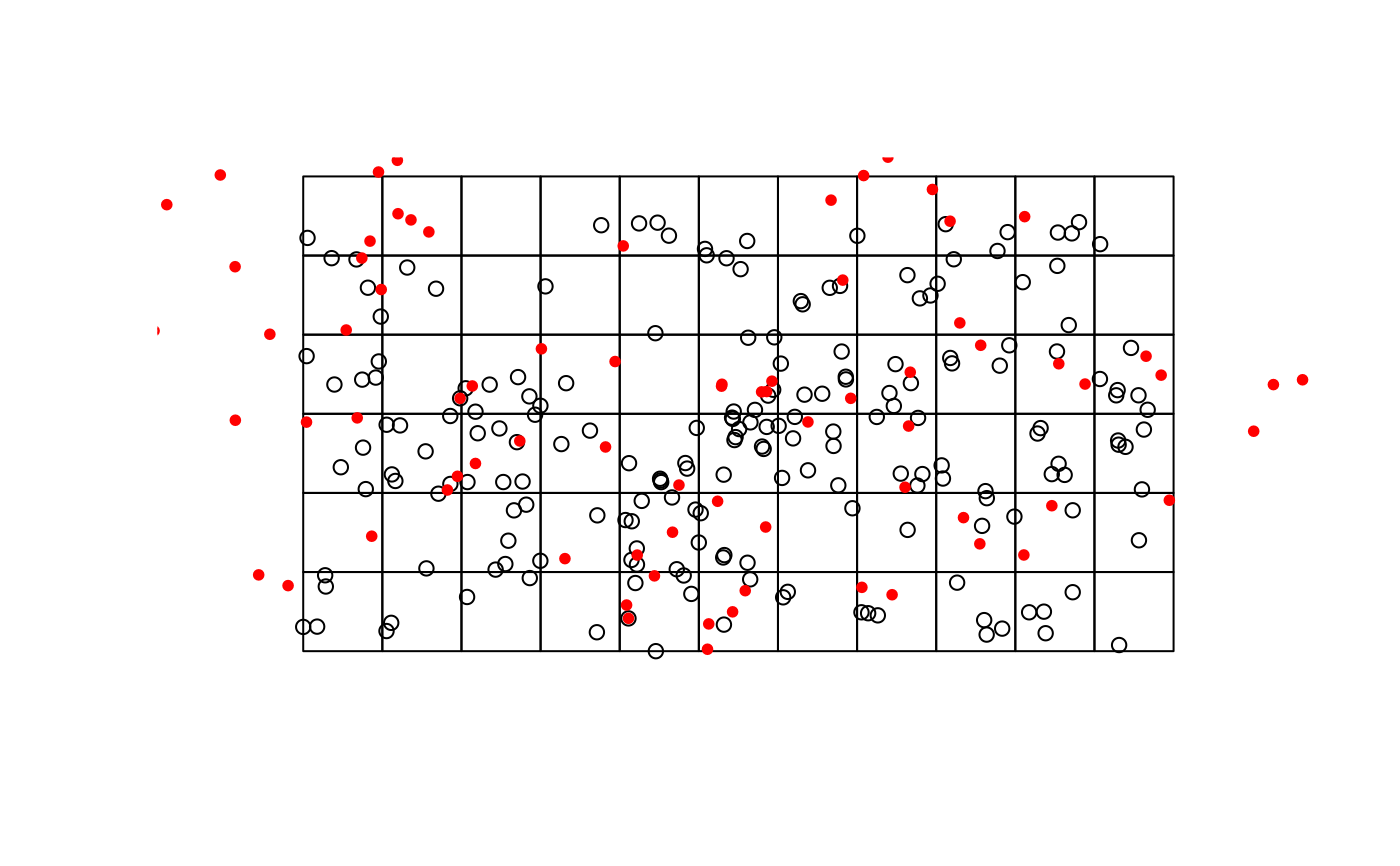
A preprocessed calculation using a sample of 200 buildings and 163 amenity locations both taken from OpenGeodata.NRW. Additionally, a polygon grid with a spatial resolution of 500 meters for aggregation purposes is delivered.
data(testdata)
Format
od_result of class "list" and grid_500m of class
("sfc_POLYGON", "sfc")
Source
References
Land NRW, 2020-11-03 (OpenGeodata.NRW)
Examples
#> #>#> #> #>#> #> #>#>data(testdata) targets_sf <- sf::st_as_sf(testdata$od_result$targets, coords = c("x", "y") ) %>% sf::st_set_crs(4326) %>% sf::st_transform(3035) plot(testdata$grid_500m$geometry, reset = FALSE)